Road Conditions for Char Dham Yatra 2025
Overview: This detailed guide covers current and typical road conditions for all legs of the Char Dham Yatra in 2025, practical travel advice for Indian pilgrims, alternate routes, seasonal cautions, and safety tips. The aim is to help you plan a spiritually rich and safe journey to Yamunotri, Gangotri, Kedarnath, and Badrinath via the usual gates of Haridwar and Rishikesh.
Why road conditions matter for Char Dham Yatra
The Char Dham circuit crosses varied Himalayan terrain where weather, landslides, construction, and river crossings can alter travel plans quickly. For 2025, pilgrims must be informed about road reopens, scheduled maintenance, and high risk stretches to avoid delays and ensure safety. Reliable road information reduces stress and helps keep the focus on the pilgrimage itself.
Key routes and their typical conditions
- Haridwar / Rishikesh to Yamunotri
The drive from Haridwar or Rishikesh climbs through Dehradun and then into Uttarkashi district toward Barkot and Hanuman Chatti. The road to Yamunotri final approach requires an uphill trek or use of ponies and palkis from Jankichatti/Phoolchatti depending on seasonal route policies.
- Common issues: narrow mountain stretches, occasional landslides during monsoon months, and icy patches in late winter.
- Travel tip: Start early in the day to avoid afternoon fog and slow-moving trucks.

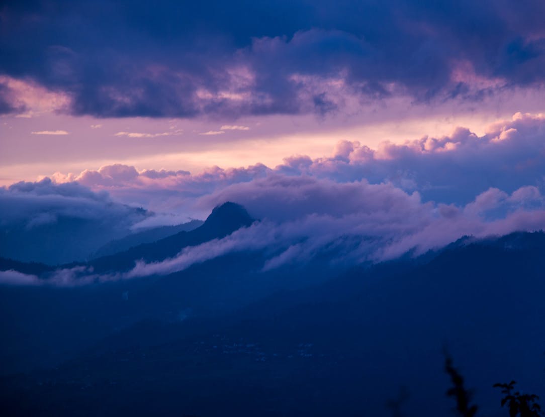
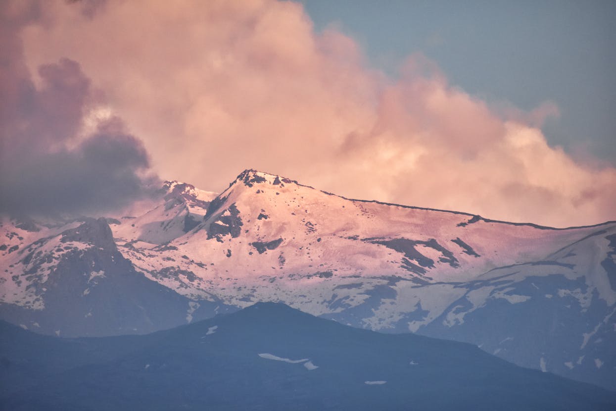
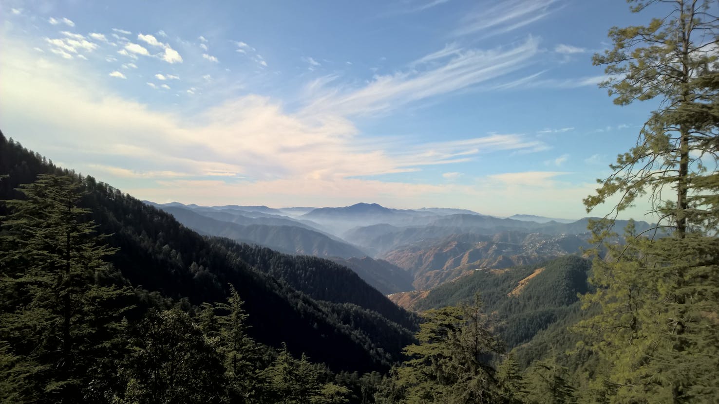
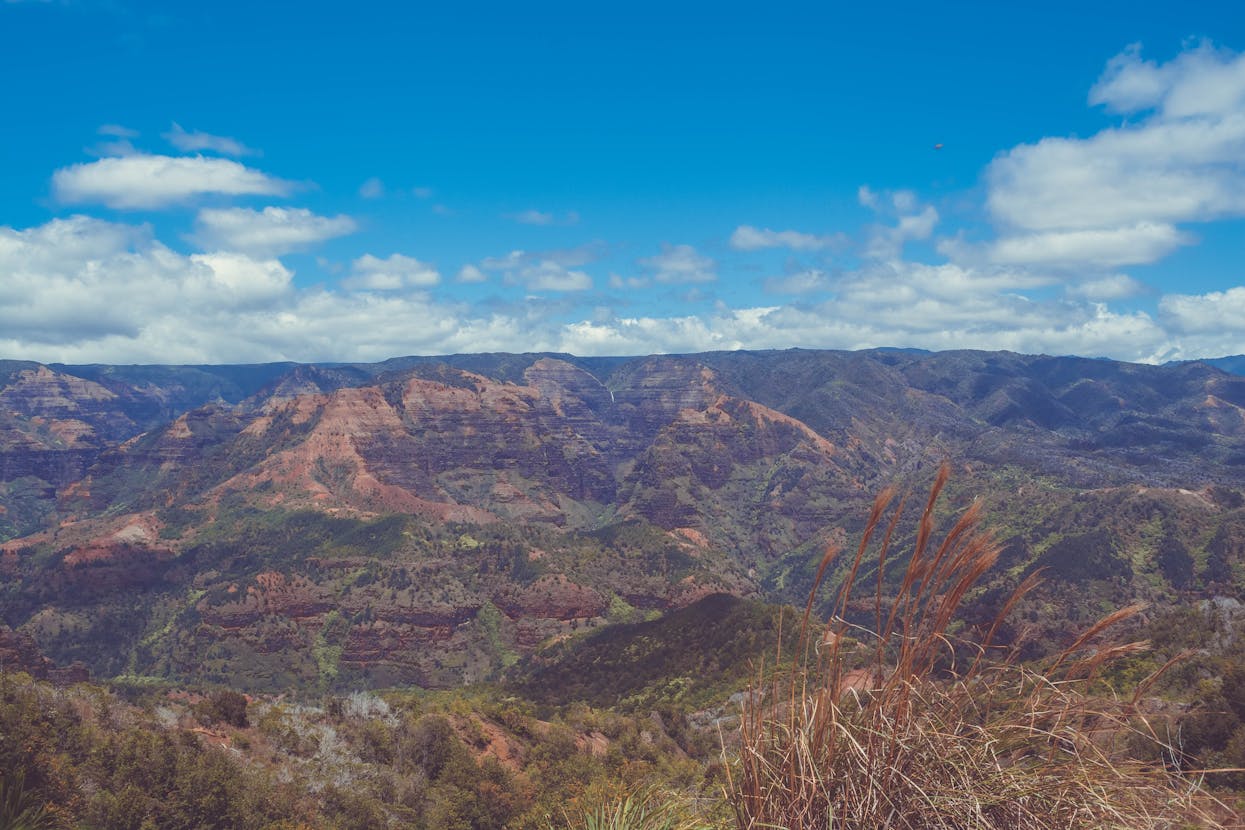
Approach route to Yamunotri shrine. - Haridwar / Rishikesh to Gangotri
Gangotri route passes through Uttarkashi and then along the Bhagirathi valley. Roads are mostly paved but can be narrow and prone to rockfall during rains.
- Common issues: rockfall zones near Uttarkashi and towns prone to sudden closures during heavy rains.
- Travel tip: Keep an eye on local traffic advisories and the state tourism site for emergency closures.

- Rudraprayag/Gaurikund to Kedarnath
Kedarnath is reached by a steep ascent from Gaurikund. For 2025, the road to Gaurikund is motorable but the final approach remains pedestrian or helicopter depending on health of the trek paths and helicopter service availability.
- Common issues: winter snowfall closes access for months; monsoon increases risk of landslides and stream surges.
- Travel tip: Book helicopter seats early if you require a faster or less strenuous route. Otherwise prepare for the trek with good footwear and permits.

- Joshimath / Badrinath route
Approach to Badrinath via Joshimath climbs on NH-level roads in parts and then mountain roads. For 2025, landslide mitigation and tunnel projects have improved some stretches, but local weather remains decisive.
- Common issues: road widening and tunnel construction can cause diversions and temporary delays.
- Travel tip: Monitor updates from the state authority and use the alternate Haridwar staging route if advised.

Seasonal considerations
- Summer (May to June) - Peak season, roads are generally open but traffic increases. Expect slower travel near popular attractions.
- Monsoon (July to September) - Landslide risk is highest. Some roads close for safety during heavy spells. Extra caution is required.
- Post-monsoon / Autumn (October to November) - Stable weather window favored by many pilgrims for clearer skies and safer roads.
- Winter (December to April) - High mountain passes and approaches to Kedarnath, Gangotri, and Yamunotri may be closed due to snow.
Real time resources to check for 2025
Before departure, consult official and reliable sources for the latest road advisories. Useful links:
- Uttarakhand Tourism
- Badrinath Kedarnath Administration
- IRCTC travel services for booked routes
- For packages and local help see Char Dham packages or regional pages like Uttarakhand tours.
Vehicle and driver advice
Choosing the right vehicle and driver matters:
- Use well maintained SUVs or Innova class vehicles for mountain roads.
- Prefer drivers experienced in Himalayan driving and who know local microclimates.
- Carry a basic emergency kit, high visibility vest, warm blankets, and sufficient water.
- Plan refueling stops as long stretches may not have fuel stations.
Safety checklist before you leave
- Check permit and registration requirements for the season and pilgrim quotas.
- Confirm accommodation confirmations and arrival times to avoid midnight uphill travel.
- Download offline maps and carry a physical map in case of network outages.
- Keep emergency phone numbers and the local forest and police helpline saved.
Common trouble spots and how to handle them
Landslides: If you encounter a landslide, do not attempt to cross if movement is ongoing. Follow local instructions and retreat to a safe spot. Notify authorities.
Roadblocks due to construction: Expect delays. Use the time to rest and perform puja preparations. Often small diversions are available.
Night driving: Avoid night driving in narrow mountain stretches. Visibility and emergency support are limited at night.
Pilgrim friendly tips for a spiritually focused journey
- Start early each day to allow time for travel contingencies and to arrive at shrines during peaceful hours.
- Maintain flexibility in your itinerary and include buffer days.
- Respect local customs and mountain ecology; avoid littering and single use plastics.
Sample 10 day road-aware itinerary (example)
- Day 1: Haridwar arrival, local darshan and resting.
- Day 2: Drive to Barkot (gateway to Yamunotri).
- Day 3: Yamunotri darshan and return to Barkot.
- Day 4: Travel to Uttarkashi, rest and local check of road advisories.
- Day 5: Gangotri darshan and return to Uttarkashi.
- Day 6: Drive to Rudraprayag/Joshimath depending on the next leg.
- Day 7: Kedarnath approach (trek or helicopter).
- Day 8: Kedarnath darshan and return to Gaurikund.
- Day 9: Drive to Badrinath via Joshimath, check road status on route.
- Day 10: Badrinath darshan and return to Haridwar or onward journey.
Frequently Asked Questions (FAQs)
Is the Char Dham circuit open in 2025?
Access varies by shrine and season. For 2025, peaks of summer and early autumn generally offer the best access. Always confirm current openings with state tourism before travel.
Can I drive all the way to Kedarnath and Yamunotri?
The final approaches to Kedarnath and Yamunotri are not vehicle friendly. Pilgrims typically trek or use helicopter services to reach Kedarnath, and a trek or pony ride for Yamunotri from the last motorable point.
What is the best month for road safety and clear routes?
September to early November is often the most stable in terms of road safety and clear weather, yet this can change annually. Check updates close to your travel dates.
How to get real time road updates?
Use official Uttarakhand government portals, local police helplines, and tour operators. Regional travel pages like destination pages also help with local logistics.
Conclusion
Road conditions for Char Dham Yatra 2025 will play a central role in shaping your pilgrimage experience. With thoughtful planning, reliable local intelligence, and flexibility, pilgrims can focus on the spiritual purpose of the journey while keeping safety first. Prepare for changing weather, respect advised diversions, and use official resources such as Uttarakhand Tourism and shrine administrations for live information. May your journey be safe, smooth, and spiritually rewarding.
For package support, accommodation options, and curated itineraries see tours and packages or browse local hotels.