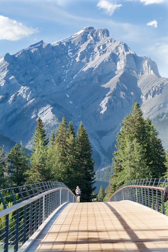
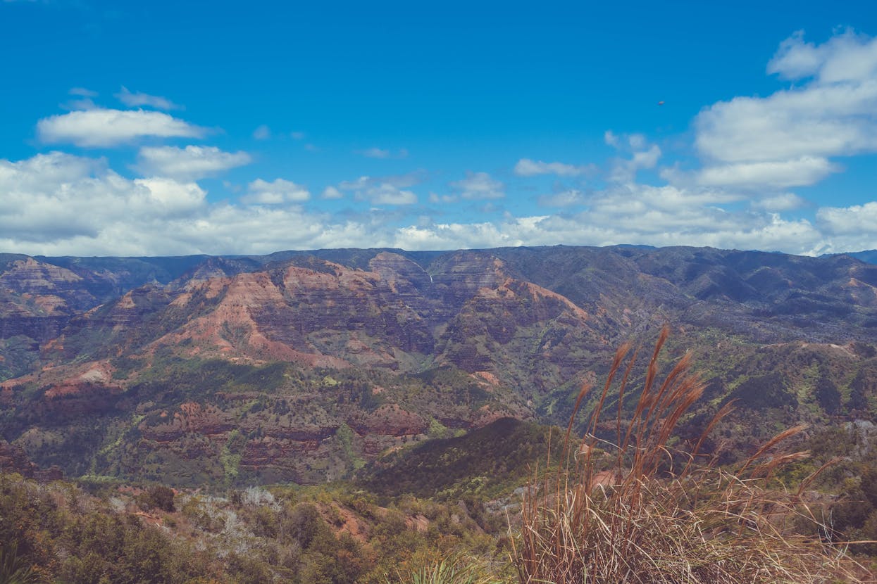
What Is the Altitude of Each Dham in Char Dham Yatra 2026?
Char Dham Yatra 2026 is both a spiritual calling and a physical journey across the majestic Himalaya. One of the first practical questions every pilgrim asks is about altitude. Altitude affects weather, acclimatization, travel choices and safety. This in-depth guide lists the exact altitudes of each dham, explains how altitude impacts your body and itinerary, gives acclimatization and packing tips, and includes sample itineraries, distance charts, frequently asked questions and a conclusion to help you plan a safe and spiritually rich Char Dham Yatra in 2026.
Quick altitude snapshot
- Yamunotri: approximately 3,293 metres (10,804 feet).
- Gangotri: approximately 3,048 metres (10,000 feet) at the shrine area near Gangotri town.
- Kedarnath: approximately 3,583 metres (11,759 feet).
- Badrinath: approximately 3,133 metres (10,279 feet).
These altitudes are the widely accepted elevations for the shrine sites and immediate temple vicinity. Exact figures can vary slightly by measurement source, but the numbers above are accurate enough for planning accommodation, trek difficulty and acclimatization strategies.

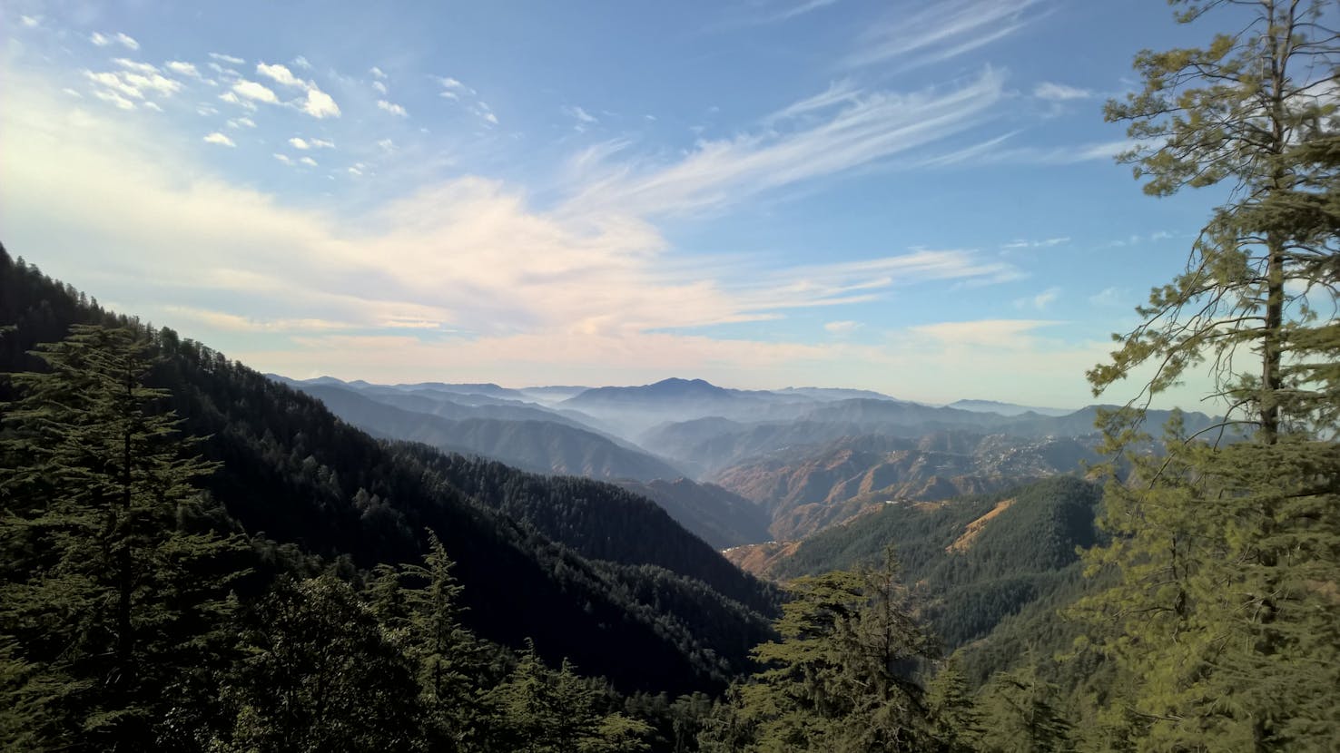
Why altitude matters for Char Dham pilgrims
Altitude affects oxygen availability, temperature, weather patterns and the physical effort required for treks and climbs. Above 2,400 metres the air begins to thin noticeably and some people feel symptoms of altitude sickness. Since all four dhams are above 3,000 metres or close to it, planning for altitude is essential for a safe pilgrimage.
Common altitude effects
- Shortness of breath on exertion due to reduced oxygen pressure.
- Headache, nausea and fatigue in some individuals, signs of acute mountain sickness (AMS).
- Colder nights and rapid weather changes requiring warm layers.
- Longer recovery after exertion at higher altitudes.
Understanding the specific heights of Yamunotri, Gangotri, Kedarnath and Badrinath helps you schedule rest days, arrange medical supplies and decide whether to use helicopter legs or overnight stays at intermediate towns for acclimatization.
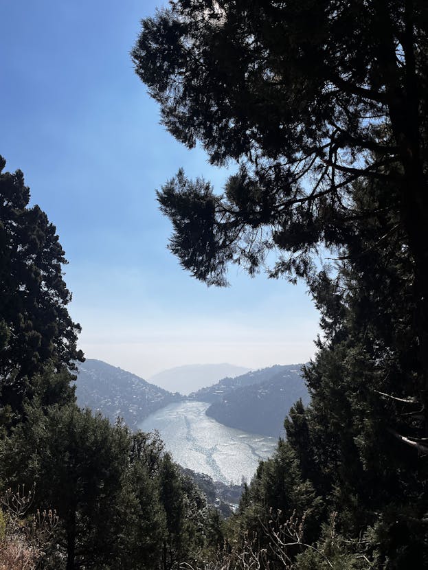
Detailed altitude and terrain notes for each dham
Yamunotri — altitude and approach
Altitude: ~3,293 m (10,804 ft).
Yamunotri is the western-most dham and is known for its hot springs and rugged terrain. The final approach usually involves a short trek from Janki Chatti or service paths used by ponies and porters. The high altitude combined with steep approach means pilgrims should avoid rapid ascent on the same day they arrive from lowland cities. A stopover at Barkot or Hanuman Chatti helps acclimatize.

Gangotri — altitude and approach
Altitude: ~3,048 m (10,000 ft).
Gangotri lies near the Gangotri glacier and is accessible by road up to the temple area. The terrain is less steep than Yamunotri but still high enough that many pilgrims feel the thin air. Staying overnight at Uttarkashi or nearby settlements before visiting Gangotri is recommended. The area around Gangotri is colder, and snow patches can persist into summer months in shaded areas.
Kedarnath — altitude and approach
Altitude: ~3,583 m (11,759 ft).
Kedarnath is the highest of the four canonical dhams and the most demanding in terms of altitude. The classic access is a trek of about 16 km from Gaurikund, though helicopter services and shorter motor-able approaches exist seasonally. At nearly 3,600 metres pilgrims must take acclimatization seriously. Even fit travellers can feel breathless and slow while walking at Kedarnath altitude. Allow at least one acclimatization day at intermediate altitude such as Guptkashi or Sonprayag if possible.

Badrinath — altitude and approach
Altitude: ~3,133 m (10,279 ft).
Badrinath is set at a high plateau near the Alaknanda river and is comparatively less steep in approach. The shrine area is well connected by road from Joshimath and offers good accommodation options. Badrinath altitude still requires respect for cold nights and variable weather, but pilgrims often find it less taxing than Kedarnath due to easier access by road and more developed facilities.

Acclimatization strategy and medical advice
Because all dhams are above 3,000 metres or close, a deliberate acclimatization plan is essential. Follow these practical steps:
- Spend one night at an intermediate altitude town such as Barkot, Uttarkashi, Guptkashi or Joshimath before ascending to the shrine level.
- Avoid rapid ascent by road in a single long day where possible. Break journeys and rest frequently.
- Hydrate well and avoid alcohol and heavy meals before ascent.
- Carry altitude sickness medication like acetazolamide only after consulting your physician and understanding contraindications.
- Recognize severe symptoms of altitude sickness: extreme breathlessness, severe headache unrelieved by medication, confusion or loss of coordination. If these occur, descend immediately and seek medical help.
For families with elderly pilgrims or those with pre-existing heart or lung conditions, consult a doctor well before departure. Helicopter options for Kedarnath can reduce trek stress but do not remove altitude exposure at the shrine itself.
How altitude impacts transport choices and itinerary
Altitude influences whether you choose to trek, take helicopter services, or use roads that wind through lower passes. For example:
- Kedarnath altitude encourages many to opt for helicopter service if they have difficulty trekking, especially those above 60 years or with joint issues.
- Yamunotri and Gangotri approaches involve shorter final treks but still require acclimatization due to high altitude.
- Badrinath is road-friendly, so many pilgrims use road travel and rest at Joshimath to acclimatize before ascending.
Sample 11-day itinerary with altitude-aware planning
This sample spreads altitude gain across days to reduce AMS risk:
- Day 1: Arrive Haridwar, attend Ganga aarti and rest.
- Day 2: Drive to Barkot, stay overnight to begin acclimatization.
- Day 3: Yamunotri darshan and return to Barkot/Uttarkashi.
- Day 4: Drive to Uttarkashi, rest and acclimatize.
- Day 5: Gangotri darshan and stay in Uttarkashi.
- Day 6: Travel to Guptkashi / Sonprayag area, rest and hydrate.
- Day 7: Kedarnath helicopter or trek, short rest at Kedarnath area.
- Day 8: Return from Kedarnath to Guptkashi and recuperate.
- Day 9: Drive to Joshimath, take rest and acclimatize.
- Day 10: Badrinath darshan and rest at Badrinath.
- Day 11: Return to Haridwar / Dehradun for onward travel.
Allowing rest days at Uttarkashi, Guptkashi and Joshimath spreads altitude exposure and reduces risk.
Packing checklist focused on altitude and cold
- Insulated jacket, thermal inner layers and windproof outer shell.
- Warm hat, gloves and good quality trekking socks.
- Footwear with ankle support and good grip for rocky and sometimes slippery trails.
- Personal medication, motion-sickness tablets, basic first aid and altitude medication if prescribed.
- Sunscreen, sunglasses and lip balm for high UV exposure.
- Reusable water bottle and water purification tablets to avoid dehydration.
Practical altitude calculator and tips
Use these practical rules of thumb:
- Do not ascend more than 300 to 500 metres per day once above 2,400 metres without rest.
- Introduce rest or acclimatization days every 600 to 900 metres of elevation gain.
- If symptoms of AMS appear, stop ascent and consider descent; do not rely on self-medication alone.
Internal resources and additional reading
For curated packages, route options and local help, check trusted providers and official portals. Example links inside our network are useful for bookings and local hotels: tour packages, hotels, and for official updates check the Uttarakhand tourism site at uttarakhandtourism.gov.in.
Frequently Asked Questions (FAQs)
What is the highest dham of the Char Dham?
Kedarnath is the highest among the four, at approximately 3,583 metres (11,759 feet).
Are the altitudes exact or approximate?
Altitudes are given as approximate official figures. Slight variations can exist due to different survey methods and local measurement references.
Can I avoid altitude sickness entirely?
No guarantee exists, but careful acclimatization, hydration, slow ascent and medical consultation greatly reduce the risk of altitude sickness.
Do I need special permits related to altitude?
Permits are mostly for crowd management and environmental protections, not for altitude. However some helicopter or restricted area landings need special clearance. Always verify permit rules during your 2026 planning.
Does helicopter travel remove altitude risk?
Helicopter travel reduces the walking distance and physical exertion but does not remove altitude exposure at the destination. If you fly to Kedarnath, you will still be at near 3,600 metres and should take acclimatization precautions.
Conclusion
Knowing the altitudes of Yamunotri, Gangotri, Kedarnath and Badrinath helps you plan a safe Char Dham Yatra 2026. With Kedarnath near 3,583 metres as the highest of the four, and Gangotri, Badrinath and Yamunotri around the 3,000 metre mark, proper acclimatization, gradual ascent, hydration and respect for local conditions are essential. Choose itineraries that allow rest days, consult a physician if you have medical concerns, and consider helicopter options thoughtfully. May your pilgrimage be safe, uplifting and filled with divine blessings.
For trusted packages and local help, explore tour packages and check official notices at uttarakhandtourism.gov.in.